This is a portfolio of personal projects using well-known geospatial tools such as QGIS, Python, and PyTorch, along with others, as part of my transition to the field. The projects span GIS, geospatial data science, and GeoAI.
For each project, there is a blogpost and GitHub repository. The readership level is basic GIS, but should be understandable to non-GIS readers. The GitHub repositories are more technical than the blogposts.
| Project | Description | Category | Main Tools | Links |
|---|---|---|---|---|
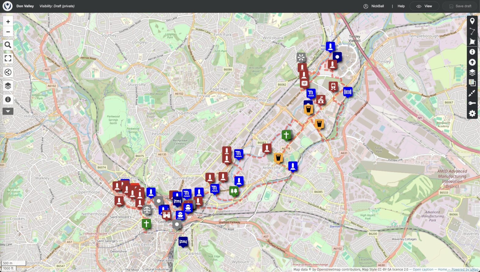
| Mapping a Historical Tour of Sheffield’s Don Valley, where the World’s Steel Industry Began | Mapping a walking tour of the historical steel industry of the Don Valley in Sheffield, England | GIS | UMap | Blog GitHub |
| Finding the Steepest Streets in Millbrae | Using OSMNx to find Millbrae’s steepest streets, then viewing on Google Street View | Geospatial data science | OpenStreetMap, OSMNx, Google Street View API | Blog GitHub |
| Visualizing all of the World’s 258 Countries and Regions | Exploring each of the world’s 258 countries and regions using physical, infrastructure and other data | GIS | PyQGIS, QGIS, Dash-Leaflet | Blog GitHub |
| End-to-end GeoAI with TorchGeo | AI segmentation model using PyTorch and Torchgeo to detect building footprints end-to-end: data, training, validation, inference | GeoAI | PyTorch, Torchgeo | Blog GitHub |
| Understanding PostGIS’s Capabilities using GeoPandas | Visualizing the querying abilities of a geospatial database | – | PostGIS, GeoPandas | Draft |
| Maps of the Universe | Combining astrophysics data and GIS tools to map the universe at a range of scales | – | d3.js | Draft |